- English
- Русский
Languages:
This site is created using Wikimapia data. Wikimapia is an open-content collaborative map project contributed by volunteers around the world. It contains information about 32613751 places and counting.
Learn more about Wikimapia and cityguides.
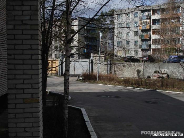
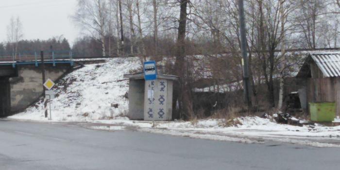
Suoyarvi
Town and the administrative center of Suoyarvsky District of the Republic of Karelia, Russia, located 140 kilometers (87 mi) northwest of Petrozavodsk. Population: 9,766 (2010 Census).
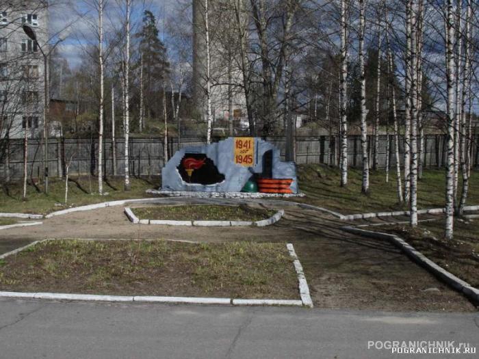
It is known that during the 16th and 17th centuries a settlement existed here known as Shuyezersky pogost (a Russian form of the local Karelian name, meaning "swampy lake"). The first documented mention dates from 1589 when Suoyarvi is recorded as church community controlled by the Orthodox community of Sortavala. In 1630, Suoyarvi became an independent community. An outcome of the Winter War was that most of West Karelia was occupied by the Soviet Union in 1940, when Suoyarvi was granted town status. In August 1941, the territory was re-occupied by Finnish troops, but as part of the wider post-war settlement, it reverted to the Soviets in 1944; it was the second largest territory by area (after Petsamo) ceded by Finland to the Soviet Union following the Continuation War. Before the occupation, Suoyarvi was geographically the easternmost municipality of Finland. Suoyarvi had its own dialects of the Karelian language before the area was ceded to the Soviet Union and its inhabitants were relocated to other parts of Finland. Most of the Karelian people in the former municipality spoke a variety of South Karelian (suvikarjala), while the villages in the Hyrsylä (Khyursyulya) salient, which also included Ignoila (Ignoyla) and Hautavaara (Khautavaara), spoke a Livvi dialect instead.
Wikipedia article: http://en.wikipedia.org/wiki/Suoyarvi
Town and the administrative center of Suoyarvsky District of the Republic of Karelia, Russia, located 140 kilometers (87 mi) northwest of Petrozavodsk. Population: 9,766 (2010 Census).
It is known that during the 16th and 17th centuries a settlement existed here known as Shuyezersky pogost (a Russian form of the local Karelian name, meaning "swampy lake"). The first documented mention dates from 1589 when Suoyarvi is recorded as church community controlled by the Orthodox community of Sortavala. In 1630, Suoyarvi became an independent community. An outcome of the Winter War was that most of West Karelia was occupied by the Soviet Union in 1940, when Suoyarvi was granted town status. In...
 Reduce description
Suoyarvi on the map.